Goal
In partnership with SB Architecture, we assisted in the design of a contemporary two-story family residence with a rez-de-jardin basement, seamlessly integrated into a uniquely challenging site.
Situated on a steeply sloped and densely forested terrain near the Brome Lake, the primary challenge was to establish a harmonious relationship between the new building and the landscape without extensive land modification.
A key constraint was preserving all mature trees while leveraging the existing slope to enhance both structural stability and spatial experience of the project.
To achieve this, a detailed and accurate topographic survey was required to inform precise building placement, grading strategies, and foundation design.

Method
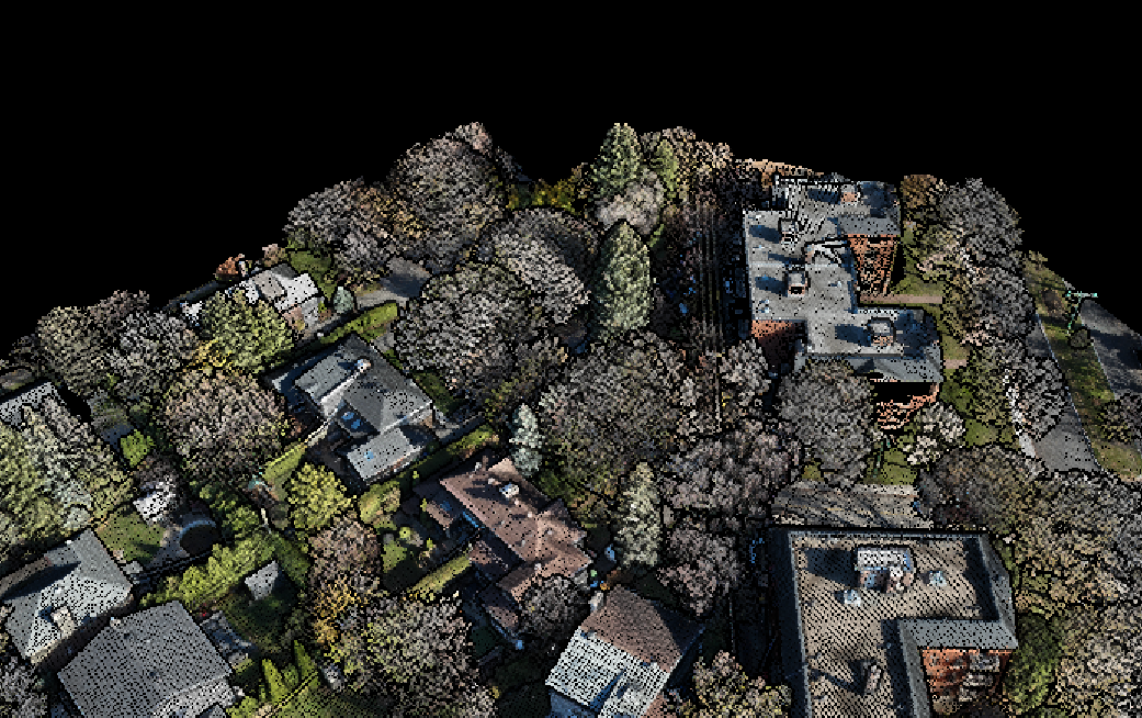
We used a high-resolution LiDAR drone to capture a dense point cloud of the entire property. This method allowed us to penetrate the forest canopy and obtain a highly accurate digital model, mapping not only the overall canopy but also critical terrain elevations that influence site drainage, foundation bearing conditions, and tree root zones.

The raw point cloud data was processed and integrated into the architects’ BIM environments, ensuring that every design decision was informed by real-world spatial conditions.
The precision of this dataset guided the positioning of structural elements, such as foundations, retaining walls, and site access roads, ensuring minimal environmental disturbance while optimizing views, solar exposure, and natural ventilation.
The data allowed us to turn the steep slope into an asset and limit the need for extensive excavation while creating a seamless indoor-outdoor spatial relationship in the basement. It also ensured that the building and upper floor fenestration could be strategically placed, preserving tree roots, all while framing curated sightlines toward the lake.
Conclusion
By leveraging high-fidelity LiDAR scanning and advanced digital modeling, we allowed the design to fully embrace the site's natural characteristics while adhering to sustainable best practices. Precise topographic data can inform not only the structural strategy but also crucial aspects of stormwater management, material selection, and passive design considerations such as thermal massing and solar gain optimization.
This project exemplifies our firm’s expertise in topographic data extraction; Demonstrating how cutting-edge technologies and ecological sensitivities can converge to enable a site-specific, and environmentally integrated, architectural project.

.svg)


