
Reality capture for renovation and rollout teams
Accurate site data and clean deliverables to reduce rework and move projects forward faster.




What we do
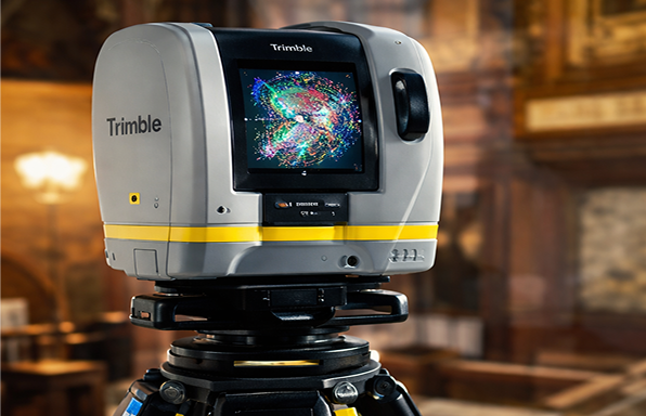
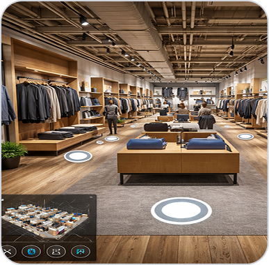
Reality Capture
Document real site conditions with high accuracy.
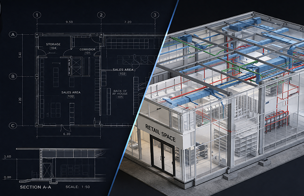
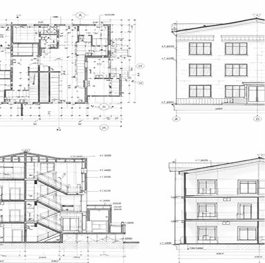
Scan-to-BIM
Turn scans into usable models.
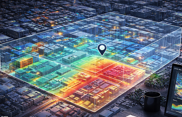
Spatial Analysis
Measure, compare, and plan space.
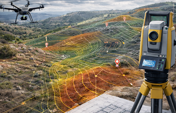
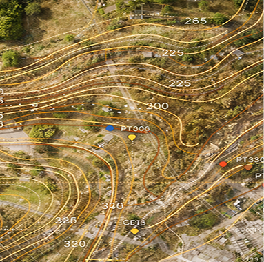
Topographic Survey
Terrain data for planning work.
How it works
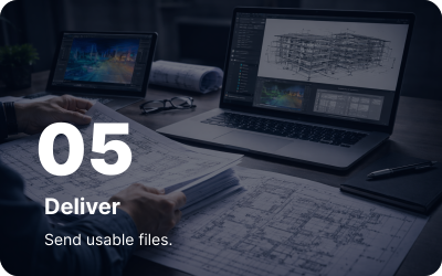
Deliverables
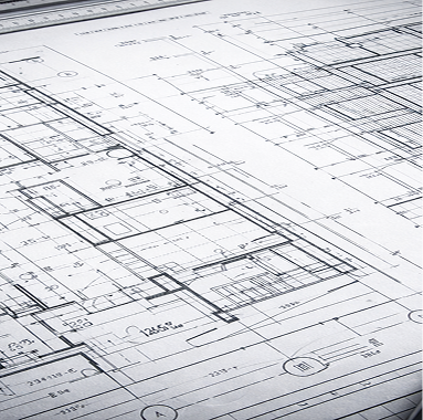
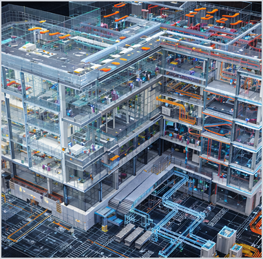
Why MESUR

Faster project starts
Move sooner with verified existing-conditions data.

Lower rework risk
Reduce errors caused by outdated or incomplete plans.
Workflow-ready
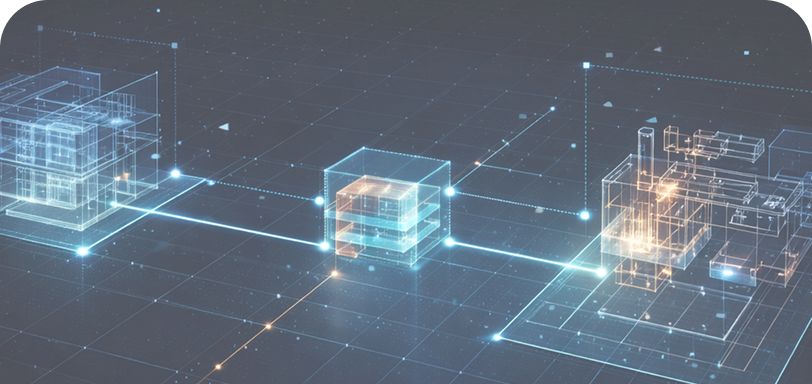
Fits directly into BIM and CAD workflows.

Fewer site visits
Let remote teams review and plan with confidence.
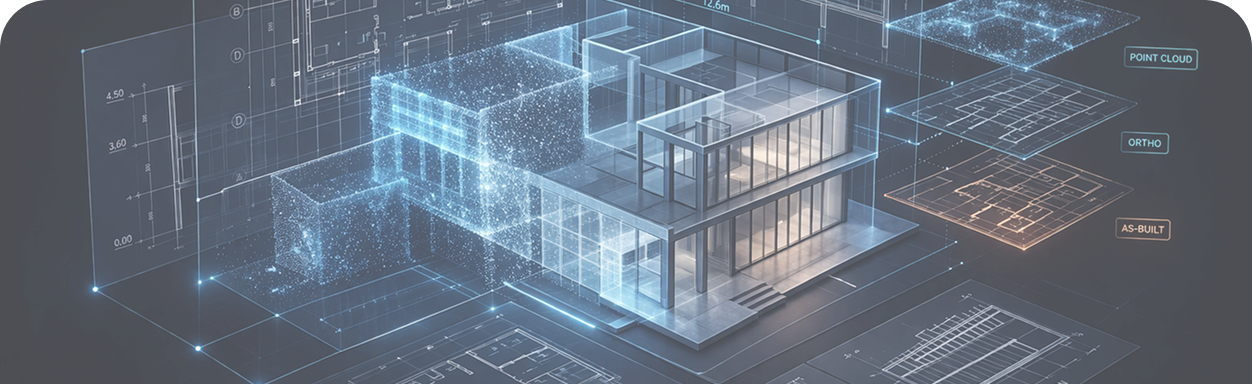
Built by architects
Shaped by teams who rely on accurate documentation to design and deliver.
Where we operate
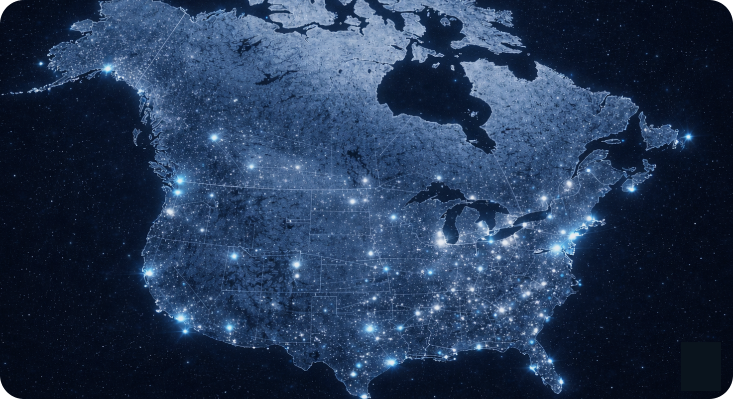
From single sites to multi-location programs, MESUR delivers reality capture support across Canada and the United States.
Who we serve
MESUR supports teams that need accurate site data and clear deliverables for planning, design, and execution.

Landlords
Capture existing conditions for leasing, renovations, and asset planning.

Retail chains
Standardize site data across rollouts, remodels, and multi-location programs.

Engineers
Work from reliable spatial data for coordination and technical planning.

Architects
Start design with accurate existing conditions and workflow-ready files.

Real estate developers
Reduce uncertainty early and keep projects moving with better site information.
Ready to scope your project?
Tell us about your site, timeline, and required deliverables.