.svg)


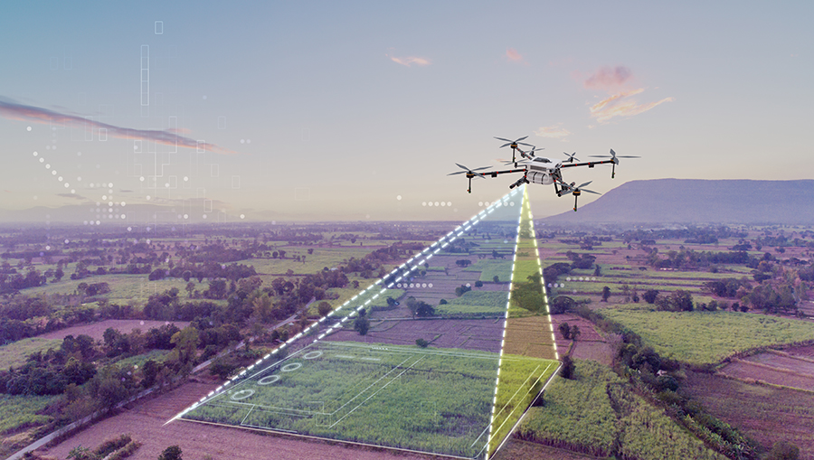
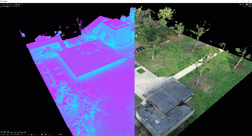
Unlock the full potential of your land with our cutting-edge topographic survey services using LiDAR scanners and drones. Our advanced technology captures every detail of your plot with pinpoint accuracy, creating high-resolution 3D models and comprehensive topographic plans. Whether for construction, land development, or environmental assessments, our efficient and precise surveys provide the critical elevation data and feature mapping you need to make informed decisions.